
Machu Picchu & Cusco in 5 Days, with Rainbow Mountain
Five days from Cusco: city tour, Sacred Valley, a night in Aguas Calientes, Machu Picchu with a guide, then Rainbow Mountain once you have adjusted. From US$914.
From, per personUS$914


Rainbow Mountain, Humantay, Sacred Valley, city tour. From US$27.
All 15 packagesLima, Nazca, Cusco, Machu Picchu and Lake Titicaca, 6 to 15 days.
All 6 packages
Machu Picchu, both shores of Lake Titicaca, La Paz and Uyuni. 10 to 15 days.
All 8 packages

Cusco, Machu Picchu, a lake ceremony at Llachón and a night on Amantaní, 5 to 12 days.
All 4 packages
Uros, Taquile and the Aymara shore from Puno, or as part of a longer trip.
All 15 packages
Where do you want to go?
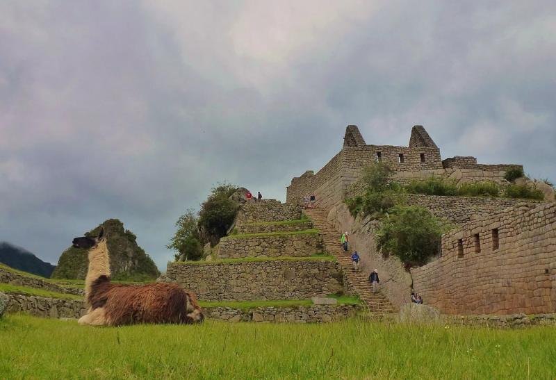
The Inca citadel at 2,430 m (7,970 ft) above the Urubamba River, 3.5 hours from Cusco by road and train, visited on a timed ticket with a guide.
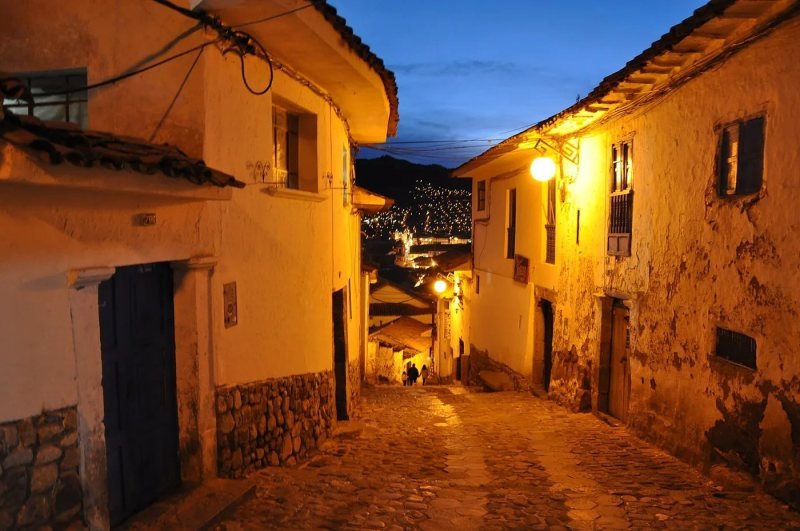
29 packages include itExplore Machu PicchuThe Inca capital at 3,400 m (11,150 ft), 1 hour 20 minutes by air from Lima, where every Machu Picchu trip and every trek starts.
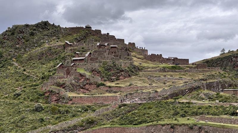
24 packages include itExplore CuscoThe Urubamba River valley between Pisac and Ollantaytambo, about 2,870 m (9,416 ft), one hour north of Cusco and on the train line to Machu Picchu.
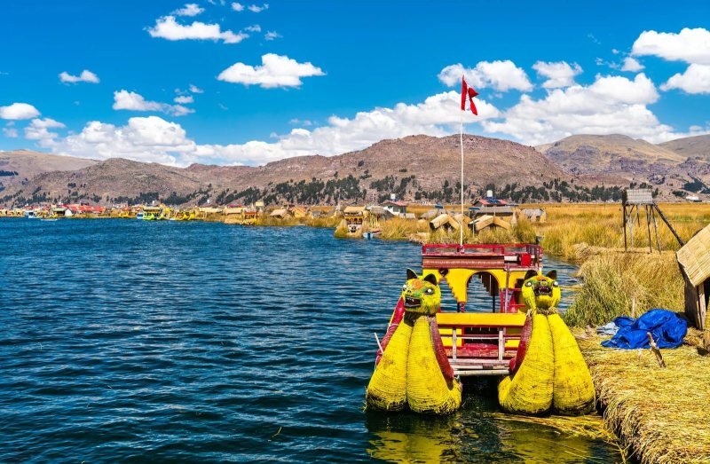
25 packages include itExplore Sacred ValleyThe lake on the Peru and Bolivia border at 3,812 m (12,507 ft): the Uros reed islands, Taquile and the Aymara shore, reached from Puno.
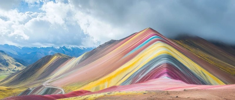
15 packages include itExplore Lake Titicaca and PunoVinicunca, a striped mineral ridge at 5,036 m (16,522 ft) south of Cusco, reached by a 3-hour drive and a 90-minute to 2-hour uphill walk.
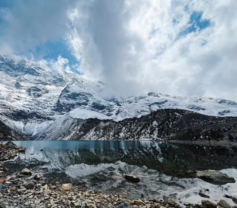
3 packages include itExplore Rainbow MountainA turquoise glacier lake at 4,200 m (13,780 ft) under the Humantay peak, three hours from Cusco by road plus a 90-minute uphill walk from Soraypampa.
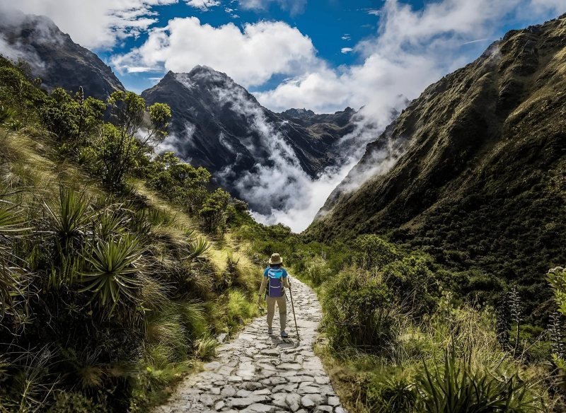
3 packages include itExplore Humantay LakeThe Inca stone road into Machu Picchu: 43 km (26 mi) in 4 days from km 82, over Dead Woman's Pass at 4,215 m (13,829 ft), on a permit limited to 500 people a day.
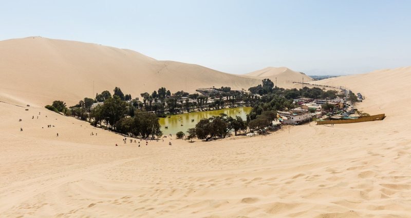
1 package includes itExplore Inca TrailPeru's capital at sea level, where every trip lands, plus the desert coast to the south: Pachacamac, Paracas, Huacachina and the Nazca Lines.
13 packages include itExplore Lima and the coastThe Bolivian side of Lake Titicaca (Copacabana, Isla del Sol), La Paz and the Uyuni salt flats, reached by road from Puno in our Peru and Bolivia tours.
7 packages include itExplore Bolivia
Vinicunca, a striped mineral ridge at 5,036 m (16,522 ft) south of Cusco, reached by a 3-hour drive and a 90-minute to 2-hour uphill walk.
Rainbow Mountain is Vinicunca, a ridge of banded red, ochre, green and lavender minerals at 5,036 m (16,522 ft) in the Ausangate range, about 100 km (62 mi) southeast of Cusco by road. It is a day trip: three hours by van to the trailhead at about 4,600 m (15,092 ft), then 90 minutes to 2 hours of walking uphill to the viewpoint, in air with roughly half the oxygen you breathe at sea level. The colors are real and the walk is short. The altitude is what decides whether you enjoy it.
The trailhead is above the village of Cusipata, reached on a dirt road that climbs from the Vilcanota valley, with the glacier of Ausangate, 6,384 m (20,945 ft), in view on clear mornings. The stripes are sedimentary layers tilted on edge: iron oxides for the red, iron sulfide for the yellow, chlorite for the green, per the geology summarized in published descriptions of the site. They were under snow until the glacier retreated in the 2010s, which is why nobody's grandparents went there. You will see 5,200 m quoted for the summit. The viewpoint most tours reach is 5,036 m, and that is the number we print.
| Fact | Value |
|---|---|
| Altitude at the viewpoint | 5,036 m (16,522 ft) |
| Trailhead | about 4,600 m (15,092 ft) |
| Walk to the viewpoint | 90 minutes to 2 hours uphill, about 5 km (3 mi) round trip with 430 m (1,400 ft) of gain |
| Drive from Cusco | about 3 hours each way |
| Palccoyo | 4,900 m (16,076 ft), about 20 minutes of walking |
| Pallay Punchu | 4,800 m (15,748 ft), 3 to 4 hours of walking |
| Horses | available at the trailhead for the way up, paid in cash |
There are three. Vinicunca is the famous one, the highest and the most crowded, with the longest walk. Palccoyo, 30 minutes further on, shows three striped ridges from a near-flat path of about 20 minutes at 4,900 m (16,076 ft), and it is the one we send travelers over 65, families and anyone who arrived in Cusco two days ago. Pallay Punchu, near Layo, is a saw-toothed ridge of sharp colored peaks at 4,800 m (15,748 ft) with a 3 to 4 hour walk and almost no other visitors. The table has the numbers, and our guide to choosing between Vinicunca, Palccoyo and Pallay Punchu has the argument.
| Mountain | Altitude (m / ft) | Walking time | Drive from Cusco | Crowds | Who it suits | Day tour price (US$) |
|---|---|---|---|---|---|---|
| Vinicunca | 5,036 / 16,522 | 90 min to 2 h up, same down | 3 h | high from 9 a.m. | fit travelers from day 4 in Cusco | US$137 |
| Palccoyo | 4,900 / 16,076 | about 20 min, nearly flat | 3.5 h | low | seniors, families, day 3 in Cusco | US$137 |
| Pallay Punchu | 4,800 / 15,748 | 3 to 4 h | 3.5 h | very low | hikers who want no crowds | US$147 |
May to September for dry trails and the brightest colors, which need direct sun. From December to March, snow can cover the stripes overnight and the road closes for a morning. Any month, the pickup is around 4 a.m. so you walk before the midday wind and cloud. The mistake is going on your second day in Cusco. The CDC advises adding an acclimatization day for every 1,000 m (3,300 ft) of elevation gain above 3,000 m (9,800 ft), and Vinicunca is 1,600 m (5,250 ft) above the city. Day four or later. Our Rainbow Mountain altitude guide explains what happens to your body up there and how to prepare.
The three day tours from Cusco (Vinicunca, Palccoyo and Pallay Punchu, from US$137), the 5-day Machu Picchu package with a Vinicunca day, and the 8 to 15 day Peru and Bolivia itineraries that place it after Machu Picchu are listed below.
Photos: Laila Goubran, CC BY 2.0, via Wikimedia Commons (source); Christian Morales Callo, CC BY-SA 4.0, via Wikimedia Commons (source); Glendora de Valo, CC BY-SA 4.0, via Wikimedia Commons (source); Steve FUNG, CC BY-SA 4.0, via Wikimedia Commons (source); MareikeHeuer(WMDE), CC0, via Wikimedia Commons (source); Codas, CC BY-SA 4.0, via Wikimedia Commons (source); PsamatheM, CC BY-SA 4.0, via Wikimedia Commons (source); PsamatheM, CC BY-SA 4.0, via Wikimedia Commons (source)
Grouped by type of trip. Prices per person in a double room.
Five days from Cusco: city tour, Sacred Valley, a night in Aguas Calientes, Machu Picchu with a guide, then Rainbow Mountain once you have adjusted. From US$914.
A full day from Cusco to Vinicunca, 16,522 ft (5,036 m): pickup before dawn, a 1.9-mile climb with a guide, breakfast and lunch included. US$137.

The gentler rainbow mountain: a short ridge walk past three striped hills and a stone forest at about 16,080 ft, day trip from Cusco with meals. US$137.
About 100 km (62 mi) southeast of Cusco by road, in the Ausangate range of the Cusco region, above the village of Cusipata. The drive takes about three hours each way on a paved road and then a dirt track to the trailhead at about 4,600 m (15,092 ft). It is a day trip from Cusco, not a place with hotels, and the tours leave around 4 a.m.
The stripes are sedimentary rock layers tilted on edge, each colored by a different mineral: iron oxide red, iron sulfide yellow, chlorite green and a lavender band from other minerals, as published geological descriptions of Vinicunca explain. The layers were covered by snow and ice until the glacier retreated, which is why the mountain only became a destination in the 2010s.
Yes if you are acclimatized, go on a clear day and accept a crowd at the top. The colors need sun and are dull under cloud. No, in our opinion, if it is your second day in Cusco, if you are over 70 and not a hiker, or if you hate crowds. Palccoyo gives the colors for 20 minutes of walking, and Pallay Punchu gives sharper ridges with almost nobody there.
About 5 km (3 mi) round trip with roughly 430 m (1,400 ft) of gain, starting at 4,600 m (15,092 ft). On flat ground at sea level that is nothing. At this altitude most people stop every twenty steps on the last switchbacks, and that is normal. Horses carry you most of the way up for cash, and the guide carries oxygen. Walk slowly and it is done in two hours.
The viewpoint that day tours reach is at about 5,036 m (16,522 ft), which is the figure on this site. The 5,200 m number quoted by many listings refers to a higher point on the ridge that tours do not climb. Either way it is higher than any peak in the lower 48 states, which is why we insist on three nights in Cusco first.